The Lebanon Field Map Methodology and Framework
Overview
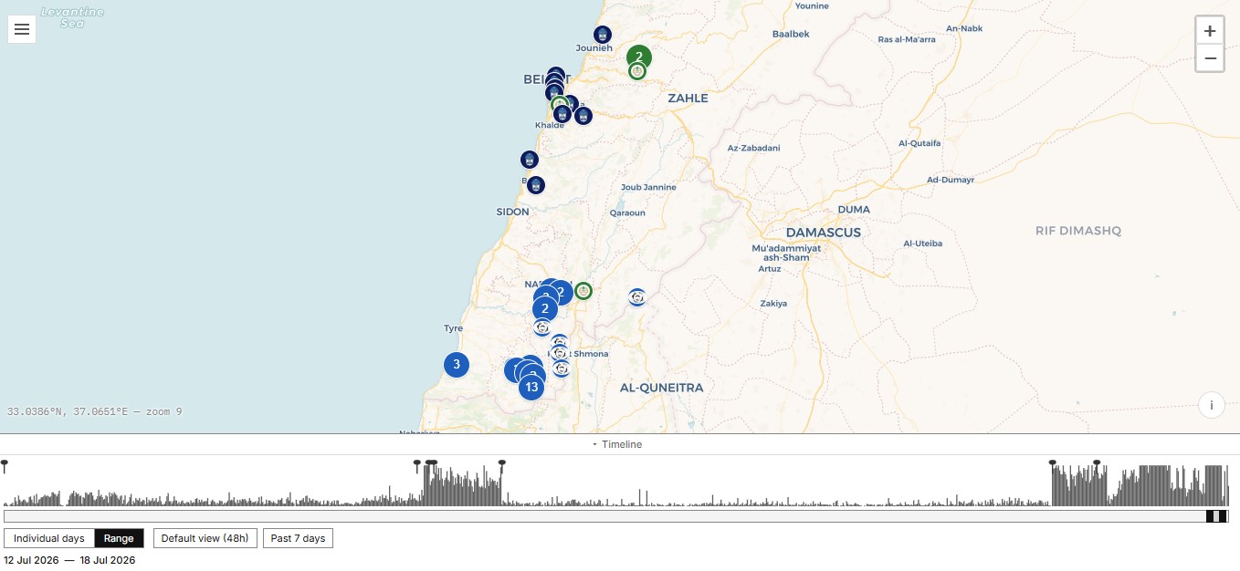
The Lebanon Field Map is a geospatial security intelligence platform designed to improve situational awareness by visualising security-related events occurring across Lebanon. The objective is to support stakeholders involved in political violence risk management, humanitarian operations, security planning, and risk-based decision-making by providing a geographic representation of emerging threats and their distribution.
By linking security incidents to specific geographic locations, the platform enables users to identify patterns, monitor escalation trends, and develop a more accurate understanding of how political violence and security risks are distributed across Lebanon.
Data Collection Framework
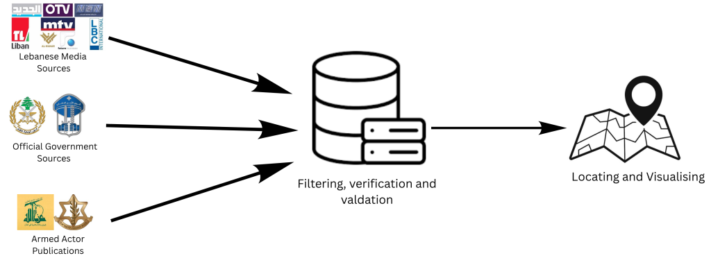
The Lebanon Field Map relies primarily on open-source intelligence (OSINT) collection from publicly available sources.
Current monitored sources include:
Lebanese Media Sources
The platform monitors six Lebanese public and private news agencies to identify reported security events and incidents.
Official Government Sources
Official publications from Lebanese security institutions are incorporated, including:
Lebanese Armed Forces (LAF)
Internal Security Forces (ISF)
Events reported directly by official Lebanese security institutions are classified as verified due to the authoritative nature of the source.
Armed Actor Publications
Publications from active armed actors are monitored, including:
Hezbollah-affiliated publications
Israeli military publications
Information originating from armed actors is initially classified as corroborated due to the possibility of strategic communication bias. These events are upgraded following confirmation from independent sources or opposing actor reporting.

Automated Event Detection and Geolocation
The collection system uses predefined:
Event-related keywords
Lebanese geographic location database
News monitoring APIs
When a relevant event is identified, the system extracts the mentioned location and assigns geographic coordinates based on the location database maintained by the United Nations.
This allows reported events to be automatically placed on the map according to the geographic area where they occurred.
Source Verification and Confidence Scoring
To reduce misinformation and improve analytical reliability, every event is assigned a confidence classification based on source availability and cross-verification.
Confidence Levels
Reported
Initial identification from a single media source.
Requires additional confirmation.
Corroborated
Confirmed through multiple independent reports.
Generally requires two or more separate reporting sources.
verified
Confirmed through widespread reporting across available sources.
Automatically applied to official Lebanese Armed Forces and Internal Security Forces publications.
Historical Conflict Data
Security events occurring before June 3, 2026, particularly war-related incidents, were collected from publicly available conflict datasets and existing tracking initiatives.
These datasets underwent manual review, cleaning, and standardisation to ensure:
Geographic consistency
Removal of duplicate entries
Alignment of event categories
Improved compatibility with the current mapping framework
Conclusion
The Lebanon Field Map applies open-source intelligence collection, geospatial analysis, and structured verification methods to create a dynamic picture of Lebanon’s security environment. By transforming fragmented reporting into a geographic intelligence layer, the platform supports more informed risk-based decisions for organisations operating in complex security environments.